I never thought I would love running as much as I do. People get tired of running the same route over and over again, especially in Metro Manila. A few days ago, a friend of mine Lyana Bejoc, organized an event that’s probably never been explored by runners or mountain bikers. Since I was preparing for an ultra marathon event in Albay, I felt that this run would help me to further prepare for the ultra marathon.
 |
|
Photo Courtesy: Alyna Bejoc
|
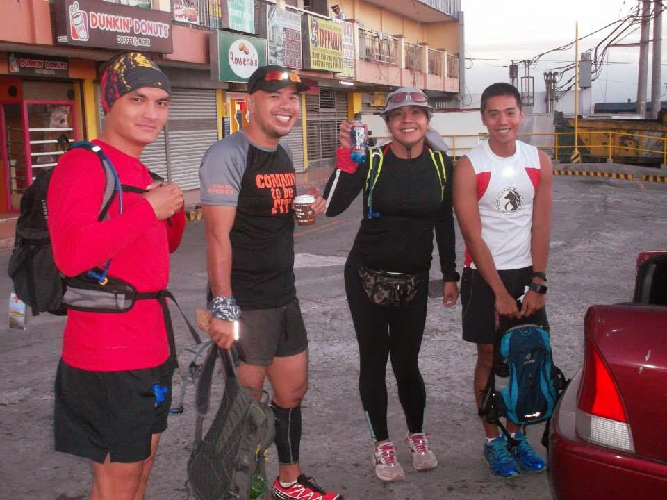
We all met up at Savemore Grocery Store in Tagaytay at 6:00 am. This is where I parked and where the adventure started.
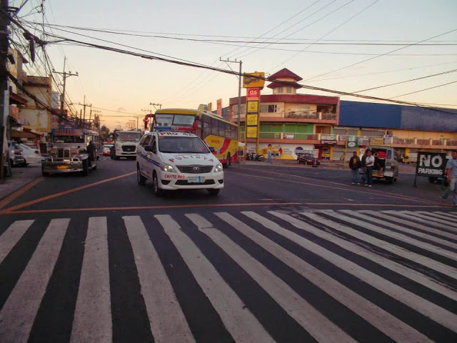
Photo Courtesy: Alyna Bejoc
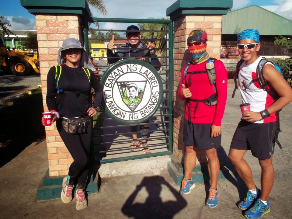
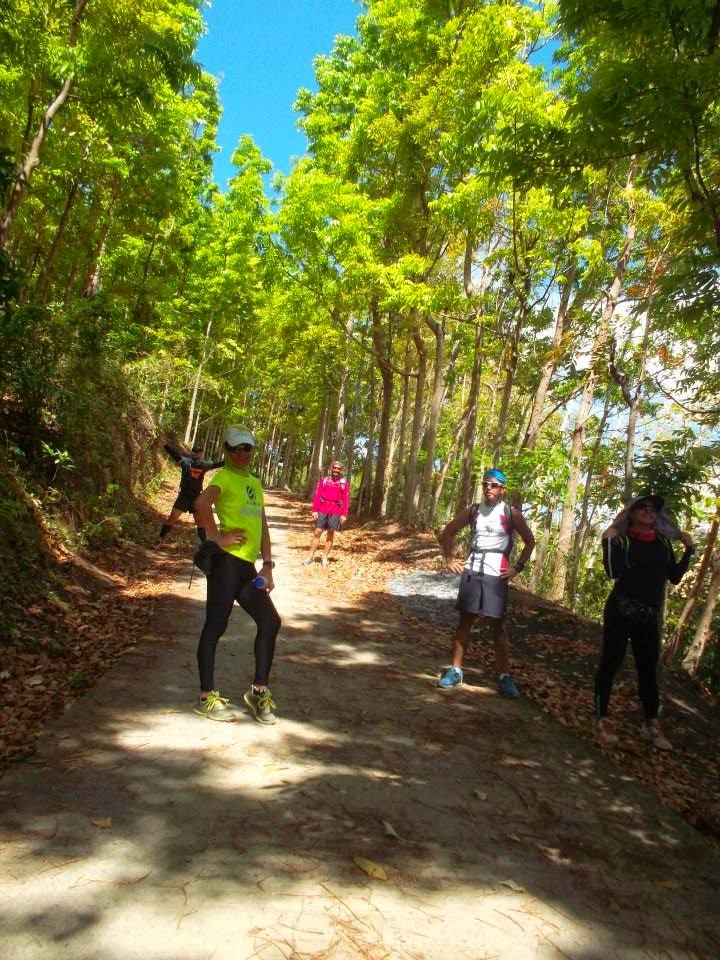
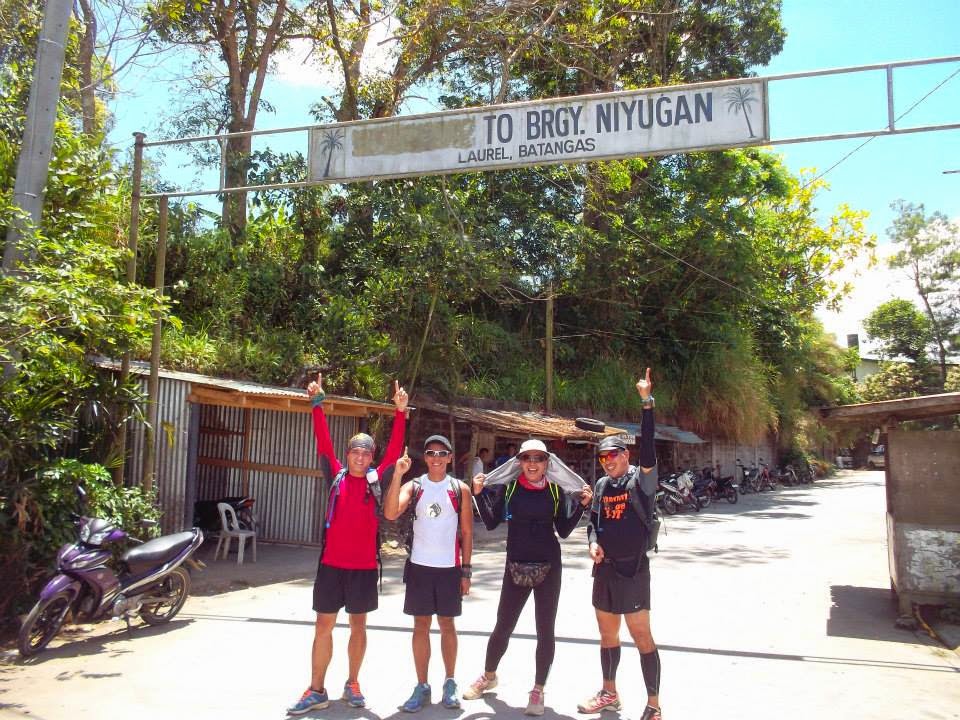
I was joined by these awesome people in the running community: Mhiko, Aldrin, Alyna, and Blue who took this picture.
 |
| Photo Courtesy: Alyna Bejoc |
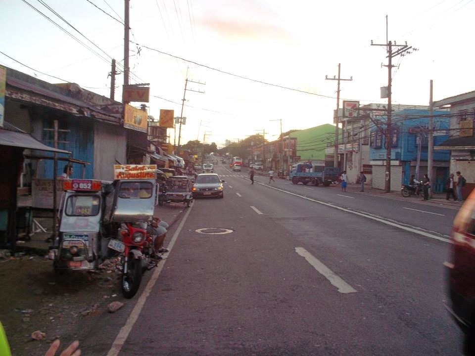
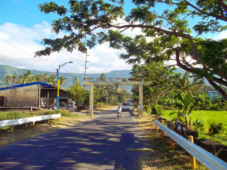
From Savemore, if you can look at the blue building just before 7-11, turn right; that is the path that will take you to Barangay Sambong.
 |
| Photo Courtesy: Alyna Bejoc |
To better show you where we entered , I copied the map from Google Earth Pro

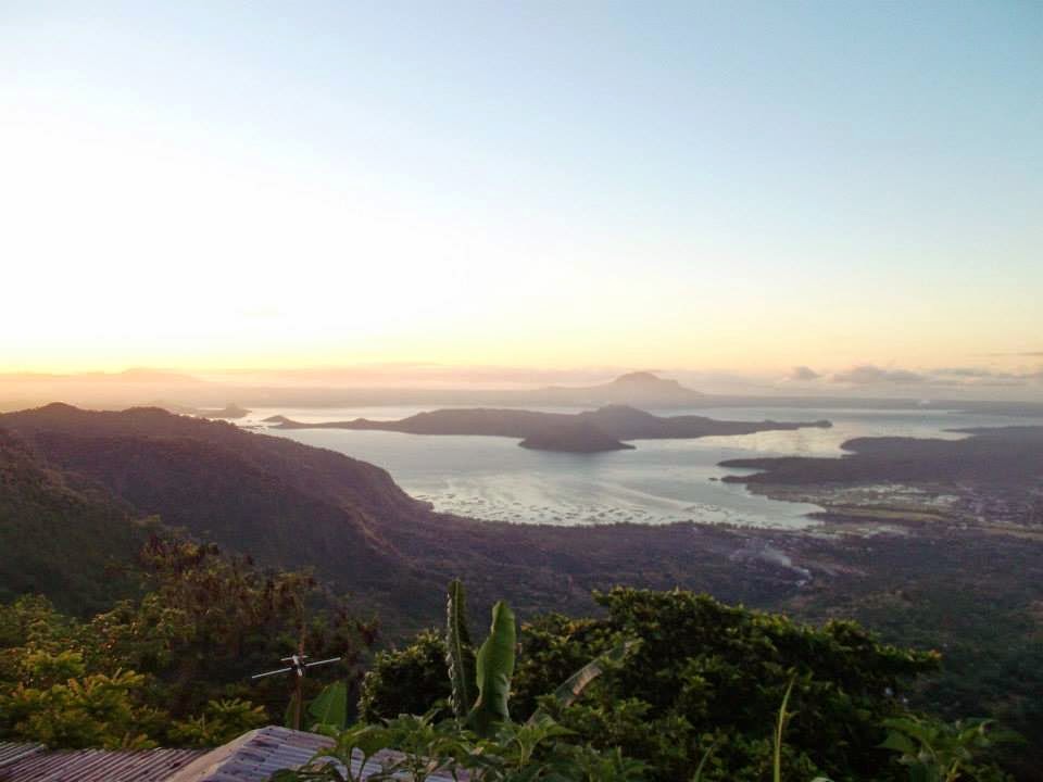
We started our run at 6:30am. just in time for the sunrise overlooking the beautiful Taal Volcano and Lake. The scenery was just spectacular!
|
| Photo Courtesy: Alyna Bejoc |
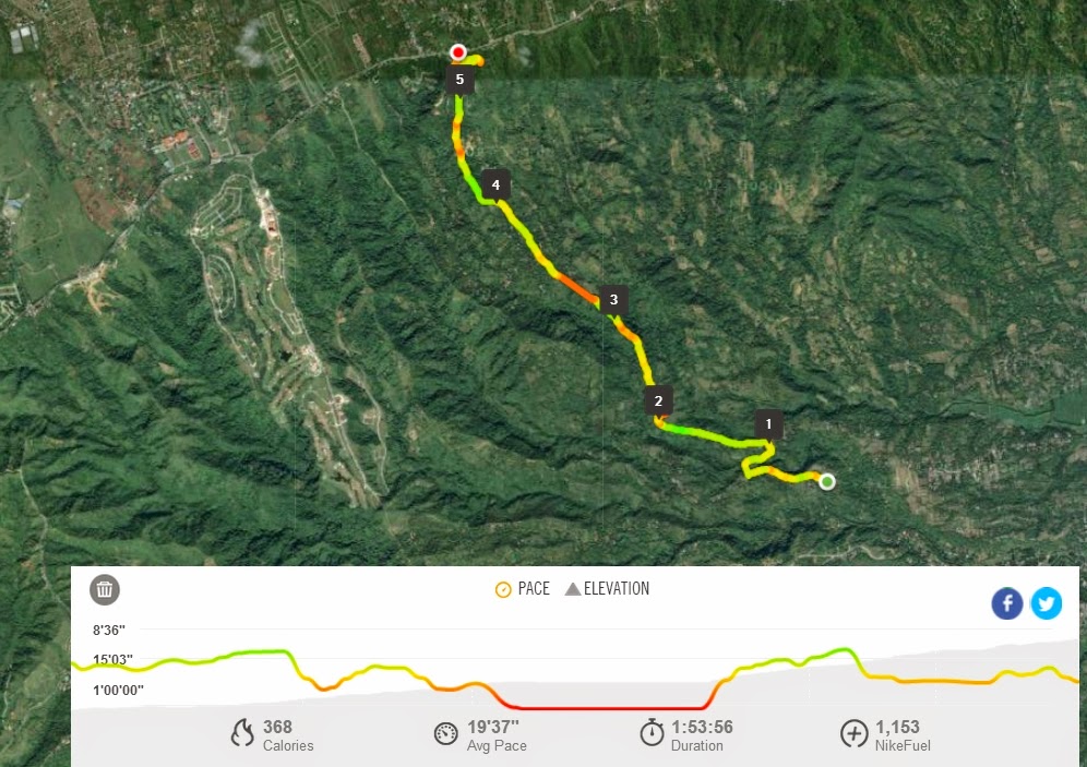
Thank goodness for my GPS watch, I was able to record our route as we explored the terrain.

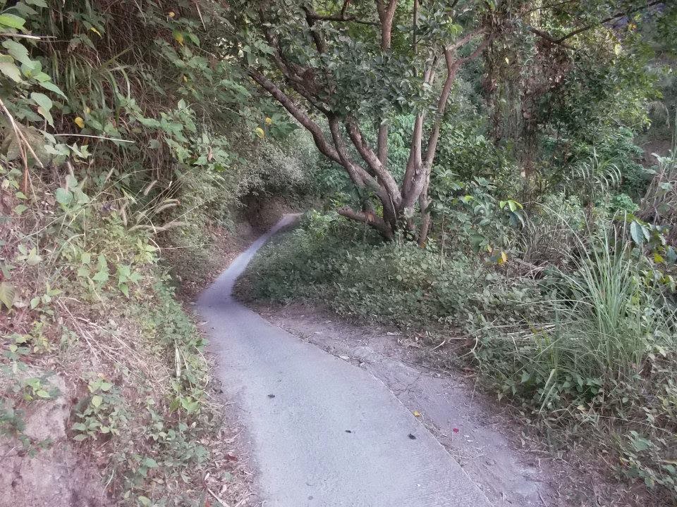
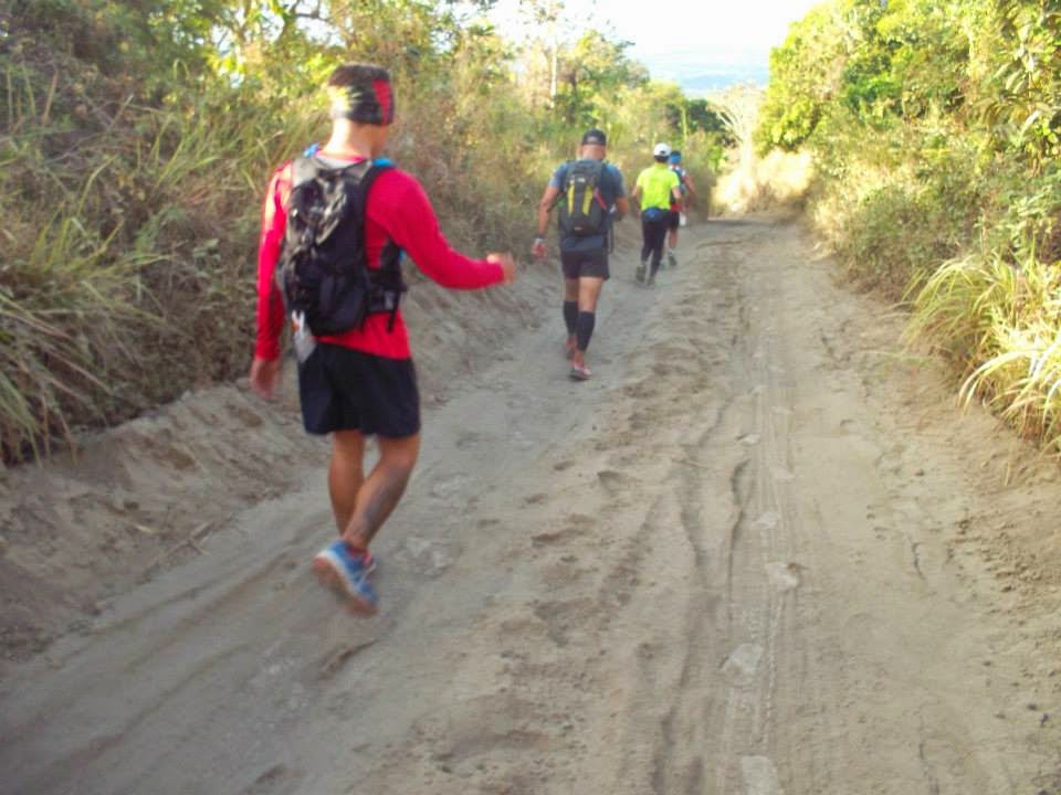
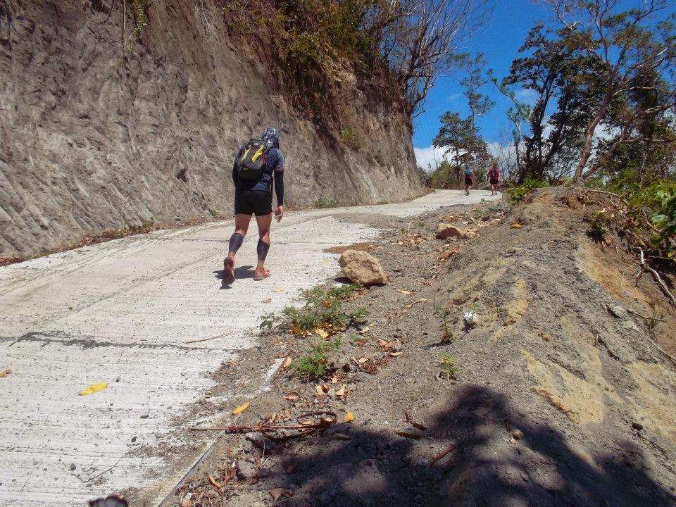
The road was pretty narrow going down and only motorbikes can drive through this route.
 |
| Photo Courtesy: Alyna Bejoc |
From Tagaytay, it was all downhill and areas were quite steep. So whether you run or you bike, be extra careful going down.
 |
| Photo Courtesy: Alyna Bejoc |
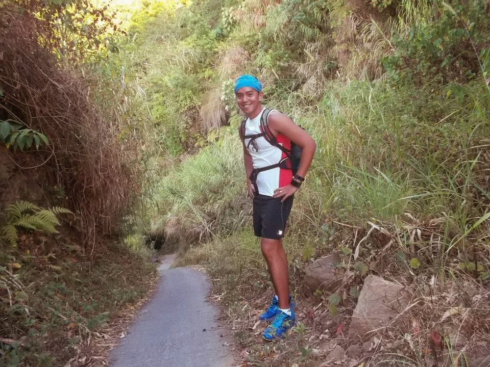
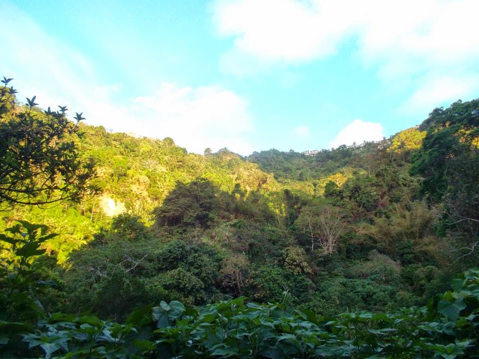
The descent was quite picturesque. All you can hear are the sounds of birds welcoming you to this beautiful environment. We even spotted some beautiful birds that we’ve never seen before. It was a relaxing atmosphere.
 |
| Photo Courtesy: Alyna Bejoc |
 |
| Photo Courtesy: Alyna Bejoc |
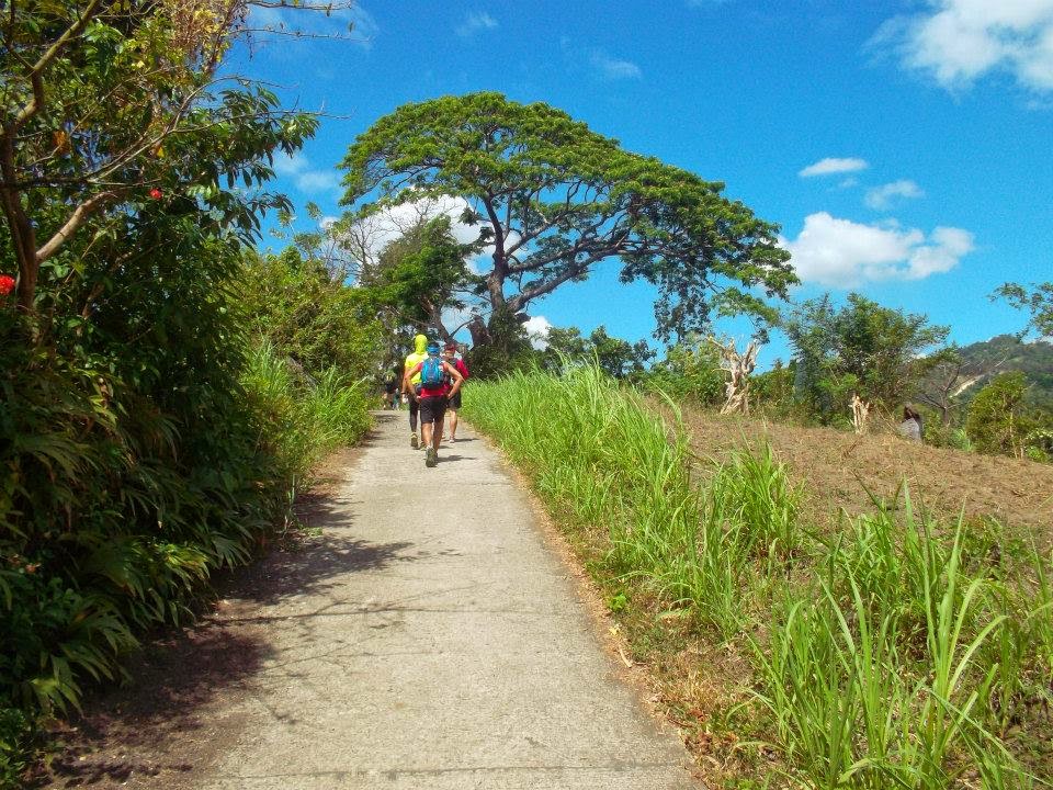
Some parts of the terrain were concrete, but there were also parts that were sandy. This makes it more fun and adds a challenge to our run as the dust was so fine.
 |
| Photo Courtesy: Alyna Bejoc |
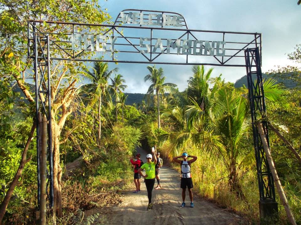
We finally reached Barangay Sambong. We thought we were going to get lost, but the trail was quite easy. There were no confusing signs along the way and we also asked some locals in the area to make sure that we were on the right path. The locals were pretty helpful and amazed to see runners in their area.
You may also want to check out: Mountain Bikers Tips For Beginners
 |
| Photo Courtesy: Alyna Bejoc |
Based on my GPS watch, this was our route from Tagaytay all the way to Ambon-Ambon falls, which was on the 12th Kilometer mark. I had to switch the gps off to save some battery. The 7th Kilometer was when we reached the national road of Laurel, Batangas.

 |
| Photo Courtesy: Alyna Bejoc |
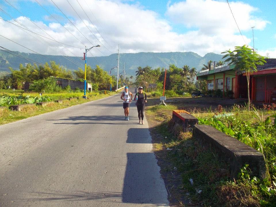
We continued our run all the way to Laurel, Batangas. Here you also have the magnificent view of the Taal Volcano and lake . Behind you, up on the ridge is Tagaytay where we started our run.
Laurel, Batangas is also known for it’s different tourist spots and one of them is the Ambon-Ambon falls which was included on our itinerary.
 |
| Photo Courtesy: Alyna Bejoc |
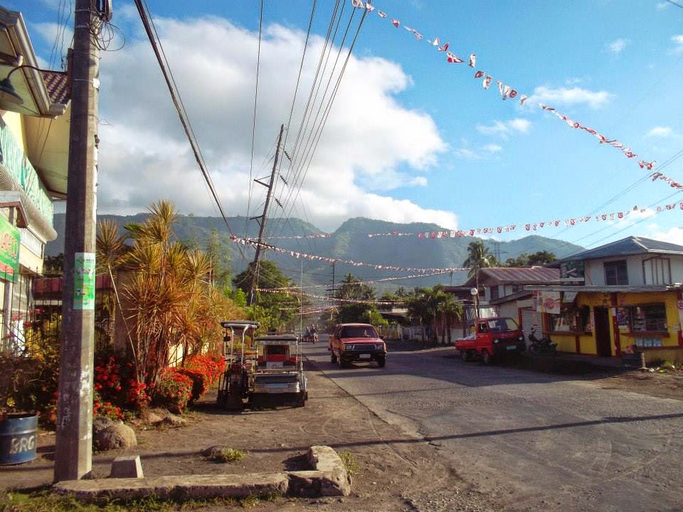
Laurel, Batangas is a beautiful and simple town that is pretty accessible from every corner from Tanauan and from Tagaytay.
 |
| Photo Courtesy: Alyna Bejoc |
 |
| Photo Courtesy: Alyna Bejoc |
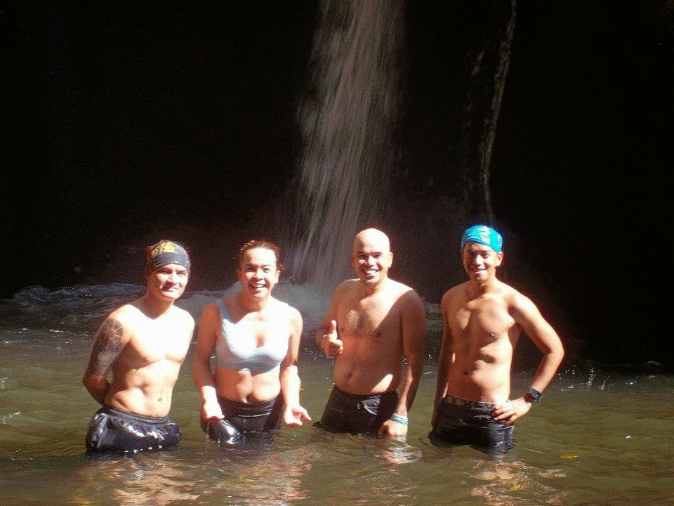
We finally made a quick stop and cooled down at Ambon-Ambon Falls in Laurel, Batangas.
 |
| Photo Courtesy: Alyna Bejoc |
We stayed at the falls for around 30 minutes. After that, we packed our stuff and headed back to Tagaytay via Paliparan Road and up to Barangay Niyugan, which is also part of Laurel Batangas.
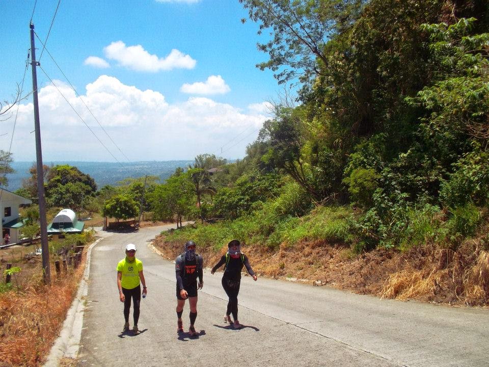
It was already 10:00 am and this was the time when we felt the intense heat. I must admit, I started feeling a little bit exhausted, specially when you mix the uphills and heat together. Luckily there were houses along the way that we asked for water and for directions.
Aside from the scorching heat, the 5 km terror uphills really made this run even more challenging.
 |
| Photo Courtesy: Alyna Bejoc |
 |
| Photo Courtesy: Alyna Bejoc |
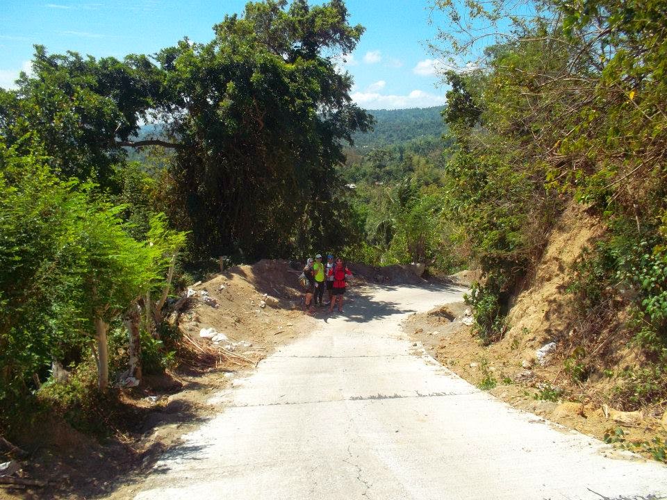
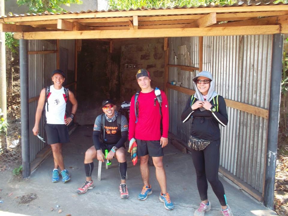
We found some shady places but we could only pause for a while.
 |
| Photo Courtesy: Alyna Bejoc |
 |
| Photo Courtesy: Alyna Bejoc |
We asked the locals, if they had seen any runners or bikers along the way and they said, NONE! We were shocked that no one had ever tried to explore this route – now is your chance!
 |
| Photo Courtesy: Alyna Bejoc |
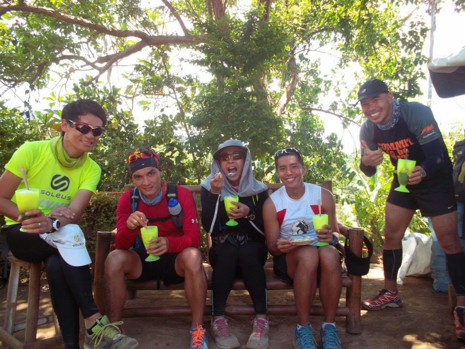
Luckily, there were some vendors who sold us some cold stuff like Halo-Halo. We needed it badly since we’d been in the sun for a long time!
 |
| Photo Courtesy: Alyna Bejoc
You really need to prepare yourself for many challenging uphill routes in the area. One runner even said that this one is even worse than the TIMBERLAND in Rizal.
|
 |
| Photo Courtesy: Alyna Bejoc |
 |
| Photo Courtesy: Alyna Bejoc |
And at exactly 12:00 pm, we reached the Tagaytay- Nasugbu Highway. Finally!
 |
| Photo Courtesy: Alyna Bejoc |
 |
| Photo Courtesy: Alyna Bejoc |
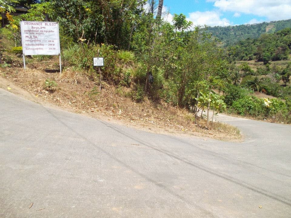
Across Barangay Niyugan, you will find the arch heading to Alfonso, Cavite.
 |
| Photo Courtesy: Alyna Bejoc |
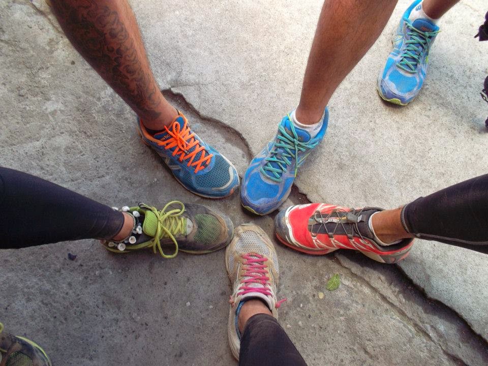
It was an exhausting 21km adventure course but I have to admit that I really enjoyed the whole experience. Though my shoulders were burnt by the sun and our shoes were covered in dust, it was all fine because we discovered an amazing new route that will challenge other runners and mountain bikers!A perfect training ground for those who are also preparing for their respective events. As for me, I will come back again and I will bring some more friends along!
 |
| Photo courtesy: Mhiko Bernal |
 |
| Photo Courtesy: Mhiko Bernal |
Take the challenge, try it!
 |
| Photo Courtesy: Alyna Bejoc |
OUTFIT DURING OUR RUN
Singlet: New Balance Lightning Dry , Shorts: New Balance
Shoes: New Balance N2 , Hydration Bag: Deuter
Watch: Nike GPS , Activity Tracker: FITBIT Charge HR
|
|
|
Photo Courtesy: Alyna Bejoc
|
Please follow and like us: